Largest Most Detailed UK (England) Map and Flag
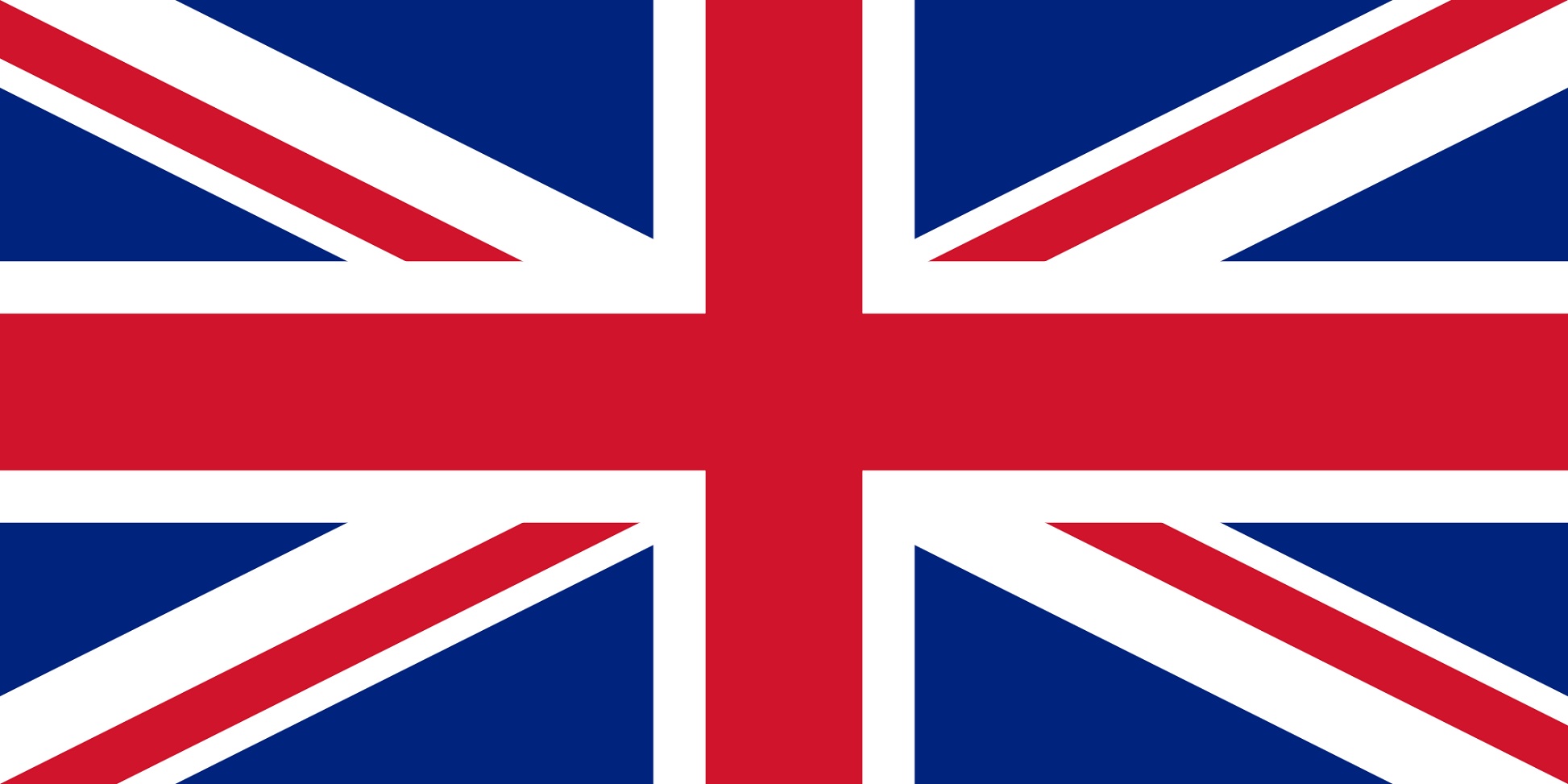
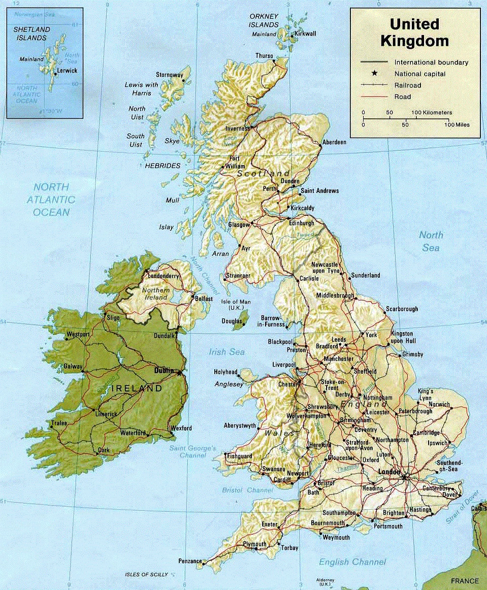
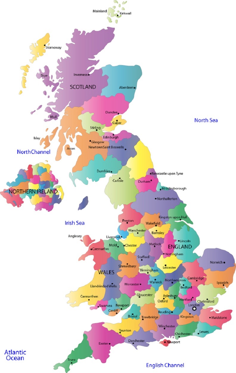
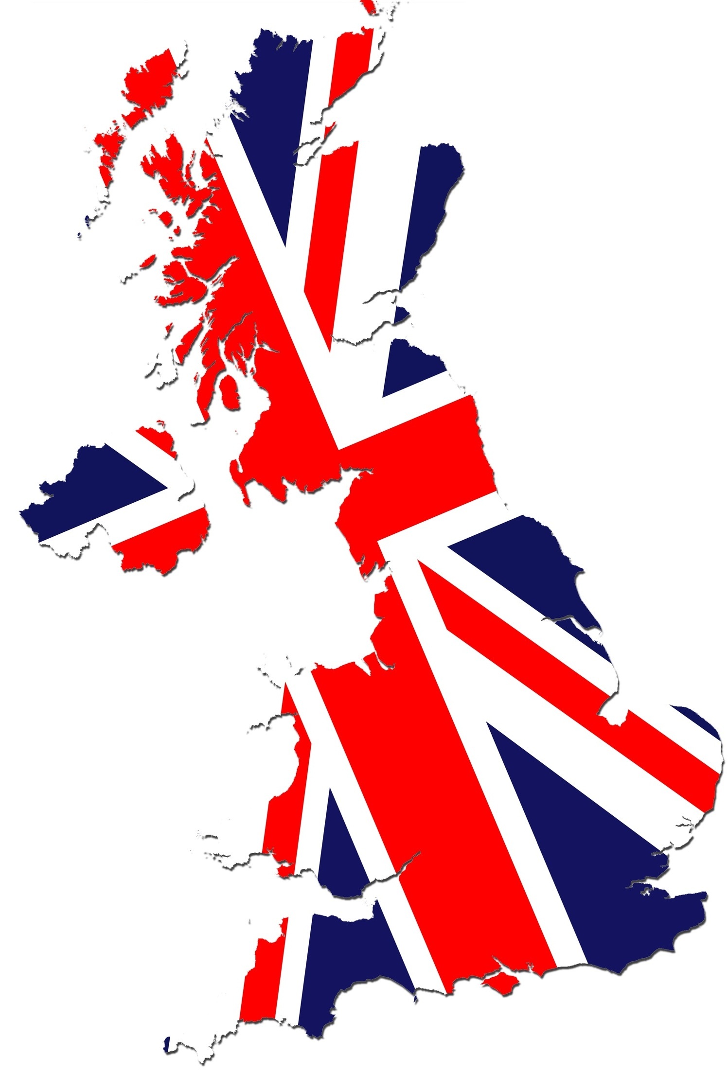
It’s been a while since we prepared another post for the flag and the map of a country; here we are again to share the flag and the map of England (United Kingdom).We, again, researched the largest and the most detailed maps online, and found those in which we believe will be useful for our visitors.All of them will be large sizes; larger than it will appear at first sight; you will have to click on it to see the larger, original size or you could easily just right click and save it into your PC, it will be saved as its original large size.We will appreciate all your feedback.Thanks in advance.
England UK Geographical Map
Colorful England Map showing the cities
Flag of England (Britain) over map
4 Comments


We are a group of volunteers and opening a new scheme in our community. Your web site provided us with valuable info to work on. You have done an impressive job and our whole community will be thankful to you.
I have been examinating out a few of your stories and its nice stuff. I will definitely bookmark your blog.
I’d say it’s out of ignorance 🙂 Sorry! And also, trying to get more traffic on the site; sorry again! Other than that, I LOVE Scots/Scotland, Irish/Ireland! The whole Northern Europe, Scandinavian countries region fascinates me, actually. Never had a chance to visit the region, yet, though…
Have you intentionally confused England, Britain and the United Kingdom in order to deliberately upset Scots, Welsh and Irish, or was this just an act of ignorance?